.
Food Security – Local Food Resources
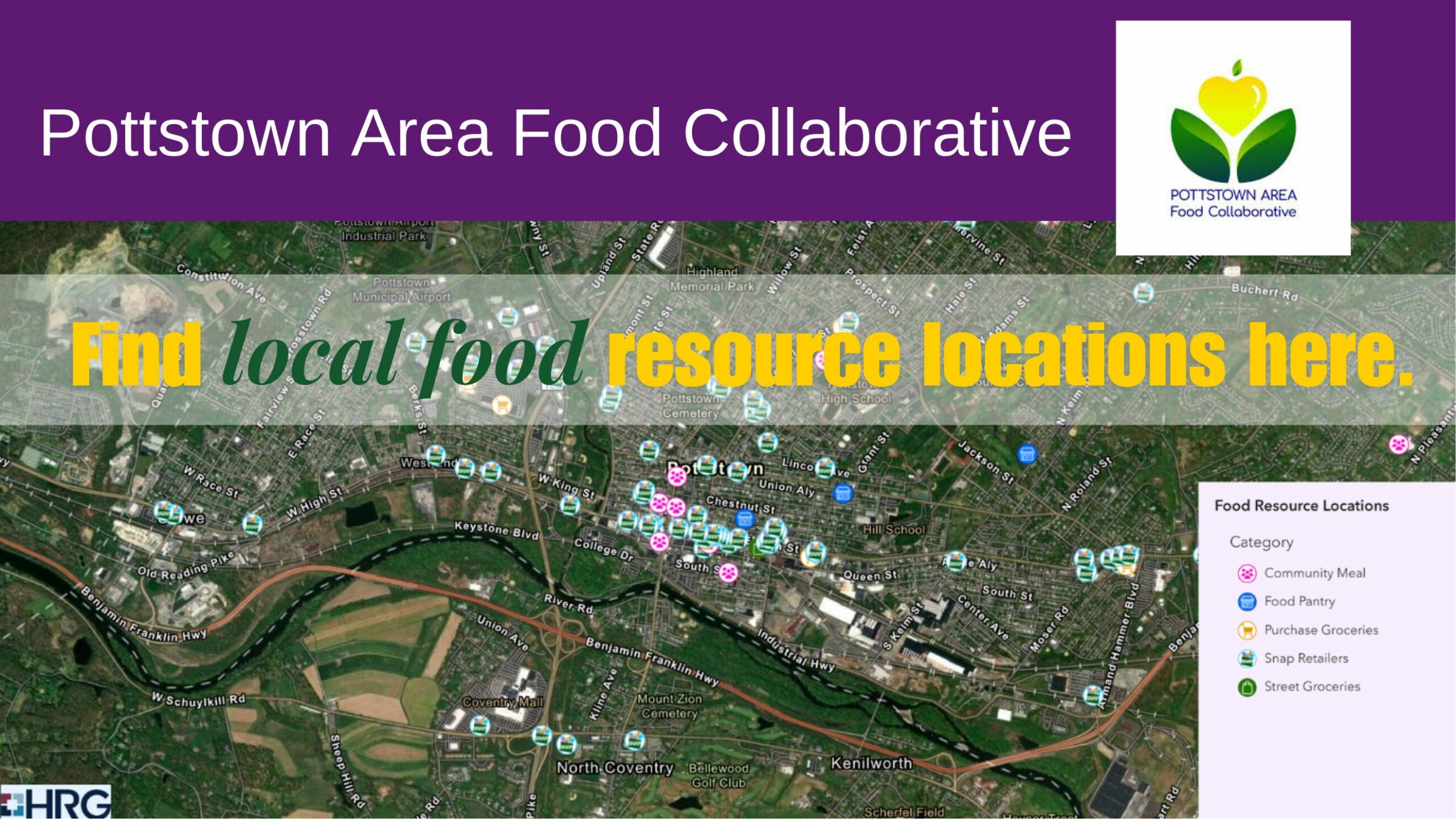
The Pottstown Area Food Collaborative is pleased to share this interactive map with you. Click on the map to wake it up then zoom in or out as you wish. The key on the bottom right explains the symbols. On the top right, you can click on public transportation and see if there is a bus route near to your desired location. There are also identified census tracks you can activate from the top right corner. To learn more about the work of the Pottstown Area Food Collaborative, visits pottstownfood.org.
If you have questions or comments you can write to info@pottstownfood.org. The Pottstown Area Food Collaboration is a voluntary cooperative of nonprofits, small businesses, and community organizations working together to improve food access in our community.
Find local food resource locations here.

